
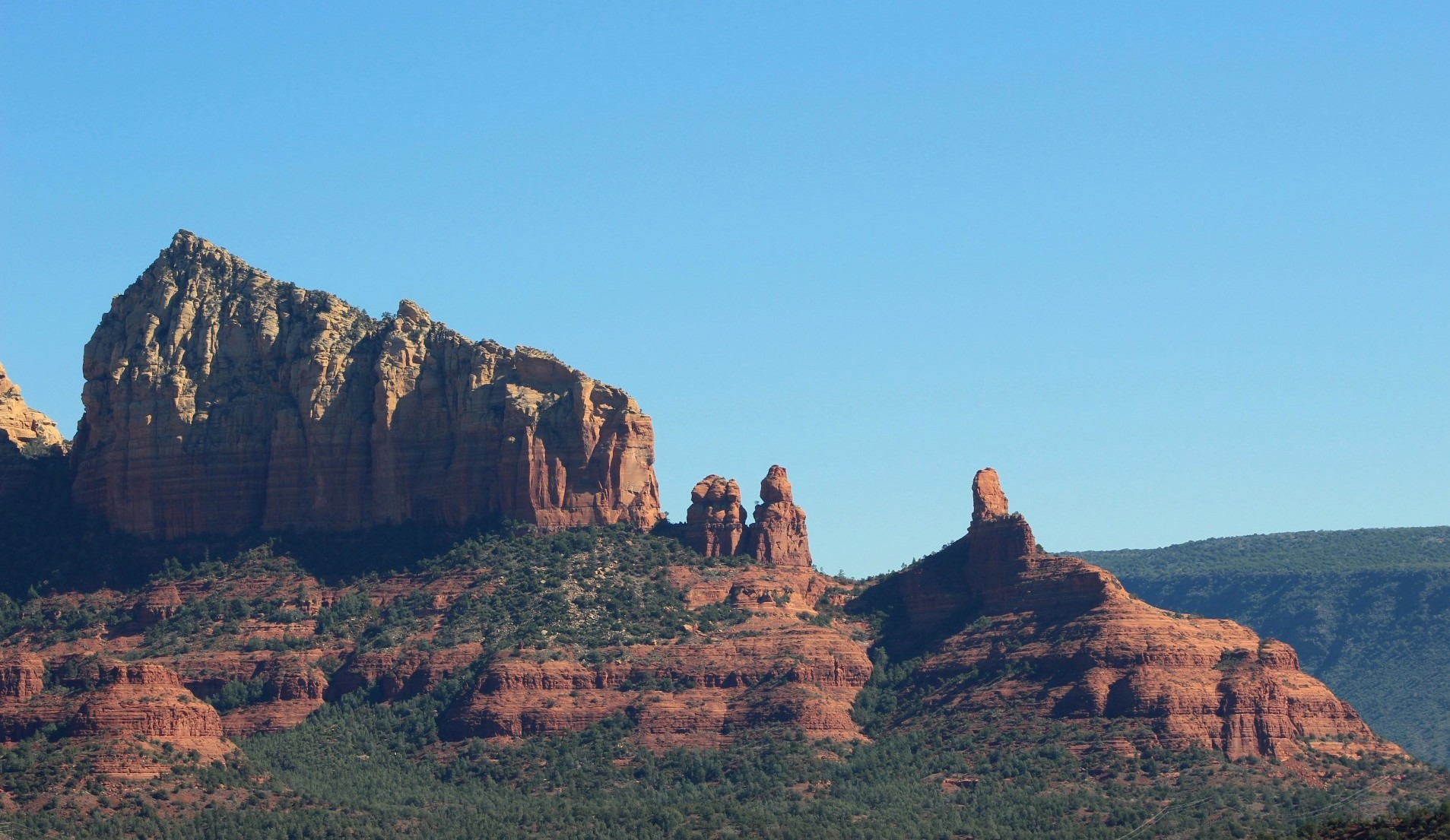
When it rains, it pours… and sometimes there are flood warnings.
Sometimes the view from the mountain peak is obscured by clouds.
Sometimes the shuttle bus to the trailhead is full and you don’t have an hour to wait for the next one.
This last week, I traveled from Phoenix to Flagstaff and Sedona. These are some of my favorite parts of the state, especially in the fall. I’ll be honest, not everything went according to plan, but I’ll share with you what I would do again and what I would do differently if I had less than 72 hours.
This is going to be a two-part series. The first article will break down how to make the most out of your travel days, and the second will be what you should do with your full day in Flagstaff.
Travel Days
There are two routes you can take to Flagstaff: the shorter, more direct route on I-17 or the scenic route via 179 through the outskirts of Sedona and the scenic byway 89A through Oak Creek Canyon. Barring any extreme weather, you should definitely take the scenic route at least one day. This route is technically only 30 minutes longer, but let’s be real… you should stop, soak it in and take some photos along the way.
Scenic Route
Oak Creek Canyon- Oak Creek
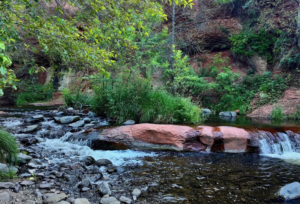
I mean it when I say you can pull off at almost any random (but legal) parking spot along 89A and see one of the most beautiful spots in Arizona. If you are somebody who needs a flat, short walk to access the water, then I would recommend pulling off at Grasshopper Point, Slide Rock State Park, or Crescent Moon Picnic Area. Just keep in mind that these areas do have parking fees currently ranging from $10-$30.
It rained a lot during this trip, so we kept to higher ground.
Oak Creek Vista
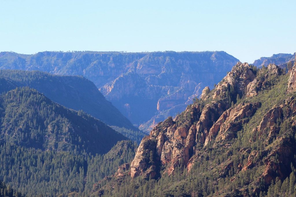
If you don’t want to mess with parking fees or climbing down to the water and just want to soak in some awesome views of Oak Creek Canyon, then stop at Oak Creek Vista Overlook. This overlook provides a panoramic view of red rock cliffs, pine tree forests, and the dramatic gorge carved by Oak Creek.
Midgley Bridge
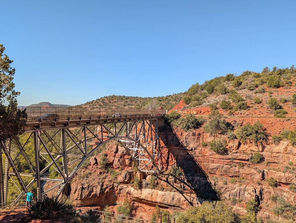
There is a small 15-20 car parking lot you can pull right off to get some stunning views of the red rocks and Midgley Bridge! Soak up the views from the parking lot or take the 1.1 mile long, but moderately difficult Midgley Bridge Trail all the way down to Oak Creek near Grasshopper Point. I didn’t have the time to take the trail much further than the lookout point, but I would definitely do the full trail next time!
This parking lot does have a parking fee unless you already have a Red Rock Pass (day pass is $5) or an America the Beautiful Pass displayed.
Sedona
Although you can just drive right on through and skip Sedona, maybe the views from the highway were enough… BUT if they’re not I’m going to provide a few different options depending on how much time you have.
Hiking: 1-4 hours
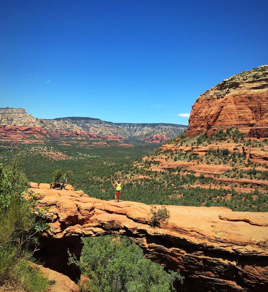
Because duh. Many of the hikes have different starting points that change the overall length and difficulty rating, so I won’t give you an exact trailhead but l’ll help you narrow it down.
- Devil’s Bridge (1.7-4.1 miles)
- Bell Rock (0.8-4.9 miles)
- Seven Sacred Pools (1.2-5.8 miles)
I will warn you that Thursday through Sunday, many of these trailhead parking lots are closed and you must take the free trailhead shuttle. There is a free app and you can also find the schedule here: Sedona Shuttle Guide. This was new for me since the last time I hiked in Sedona and I highly recommend that you arrive at least 30 minutes before the scheduled departure from the parking lot to ensure that you get a spot on the shuttle.
I’ll let you guess how I learned that lesson.
Pink Jeep Tour- 2-4 hours
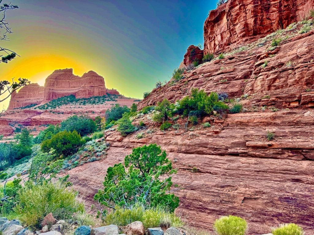
Okay, hear me out. This might be a little bit of a stretch for a travel day stop, but if you have the time and money, then I would highly recommend it! These tours offer an unforgettable experience through Sedona’s red-rock landscape.
I’ve done the Broken Arrow Tour and the Scenic Rim Tour 1.5, and I would highly recommend both of them. Just brace yourself as the drivers navigate incredibly rough terrain and steep inclines.
If you have any concerns about taking one of the rugged paths, they have all-paved tours as well.
Check out the full list of options here: Sedona Pink Jeep Tours.
Chapel of the Holy Cross – 30 minutes
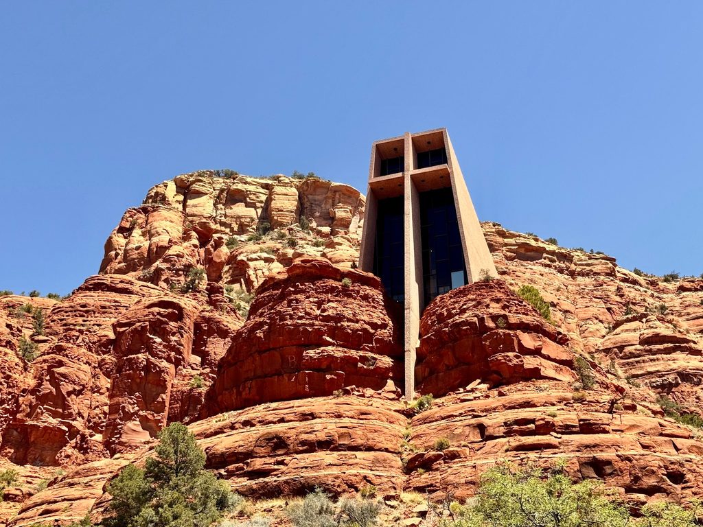
A church carved into the rocks, but don’t get it mixed up with Cathedral Rock. 😉 The chapel offers breathtaking views of the red-rock landscape and they do offer golf cart assistance if needed to help with the uphill walk.
Direct Route
From Phoenix you can take I-17 directly to Flagstaff. This is what I recommend if you’re looking for the fastest route possible but still want to plan some stops to stretch your legs and see some cool sites.
Sunset Point Rest Area
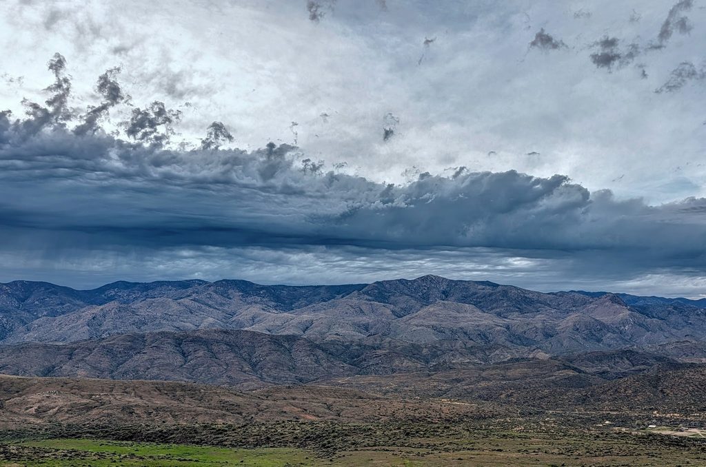
This rest area overlooks Black Canyon and provides a panoramic view of the Bradshaw Mountains. As the name suggests, this stop is at its best if you’re passing through around sunset. However, this is a great option to stretch your legs for free with a great view at any time during the day.
Montezuma Castle National Monument
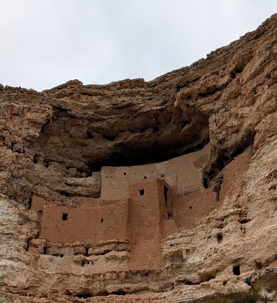
About 40 miles north is Montezuma Castle National Monument. There is an entry fee of $10 per adult unless someone in your group has an America the Beautiful Pass (valid for the pass holder and up to 3 additional adults).
There is a 0.5-mile walking trail that you can follow through the sycamores, along Beaver Creek, and past the ancient dwellings of the Sinagua people that are nestled into the limestone cliffside.
Pack It Up
If you have less than 72 hours to explore northern Arizona, don’t be afraid to make the drive part of the adventure. Take the scenic route when you can, have a backup plan for when the weather (or the shuttle) doesn’t cooperate, and don’t try to cram every stop into one day.
Sometimes the best part of the trip is the stop you didn’t plan for.
~ Mo
-

Prairie Garden Trust
Prairie Garden Trust is a nonprofit foundation, and the land has a rich history steeped…
-
Planning Next Year’s Adventures: What I’m Thinking About Before I Book
The calendar year is coming to an end, and for most state parks, the camping…
-

Leave a Reply