
A lesson in time management, time of year, and travel time.
Travel Time
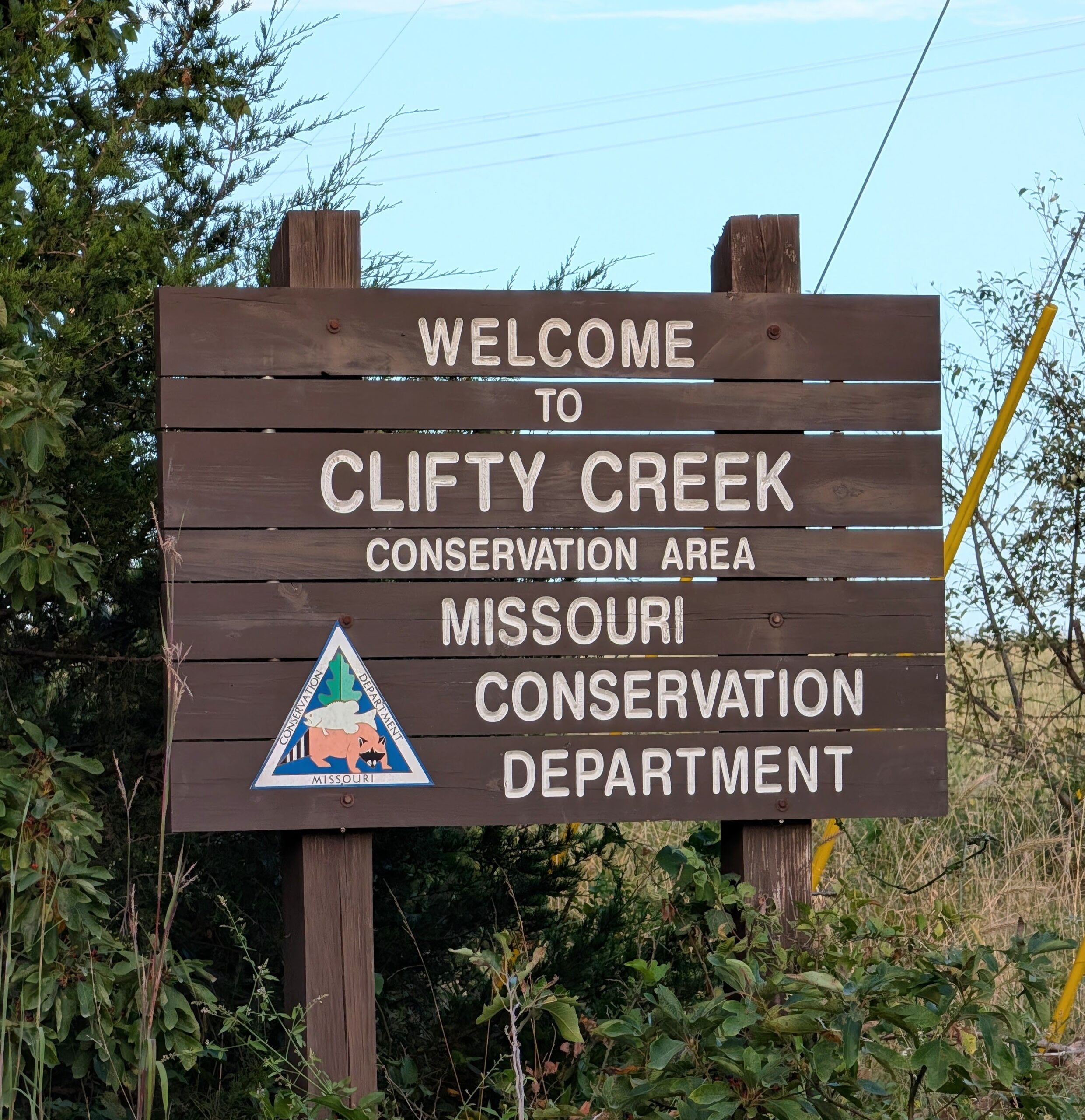
Let’s start with travel time to the trailhead. Coming from Central Missouri, you have a few options to get to Clifty Creek, and we took Google Maps at its word and just went with the “best” route. Well, the “best” route was about 45 miles of curvy, hilly country roads on highway 133.
If you are somebody who can read a book in a car, then this really wouldn’t be a concern for you, and you may go wherever the Google Maps winds take you. If you are even the slightest bit sensitive to car sickness, then learn from this and look deeper than just the fastest, lowest mileage route and consider what might be the smoothest drive, too. Because nothing says “let’s go for a 2 hour hike” like mild nausea.
We ended up taking highway 63 on the way back and had a much better experience!
Time of Year
Missouri summers can be hot, humid, and riddled with ticks. This is not breaking news. There are still great ways to get outdoors and experience the best of summer – this particular hike was just not one of those ways, but would probably be worth trying again in spring or fall.
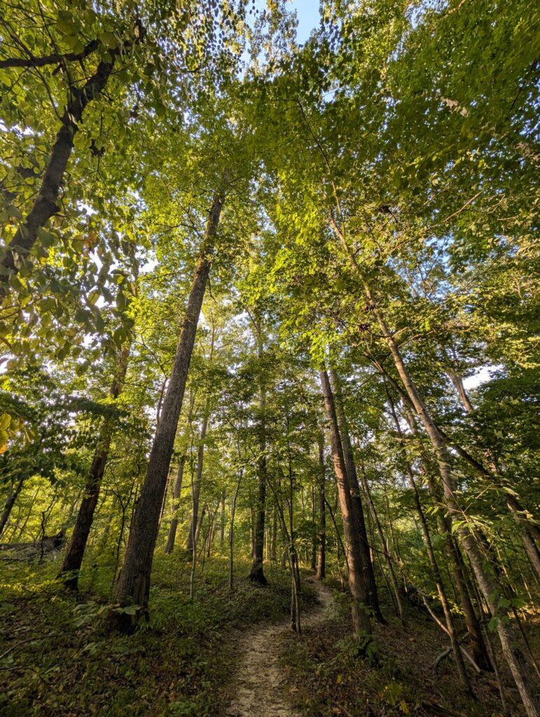
The main trail was very overgrown, and overgrown trails are a great way to get covered in ticks. Friendly reminder to always check your belly button (trust me). How do you try to prepare for this? Two ways.
First, I try to look at the most recent reviews and photos from AllTrails before I choose a hike. This particular trail didn’t have many recent reviews, so we took the gamble and came up short.
Second, a good insect repellent. I always keep a travel-size bottle of Repel 100 in my day bag. This is what works for me and is the ace up my sleeve when I know I’m somewhere with an elevated risk of ticks or mosquitos. And yes, I made it out tick- and mosquito-bite-free. 😎
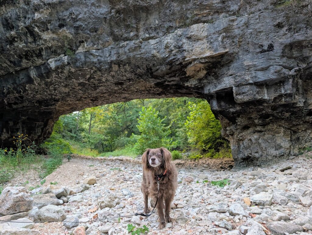
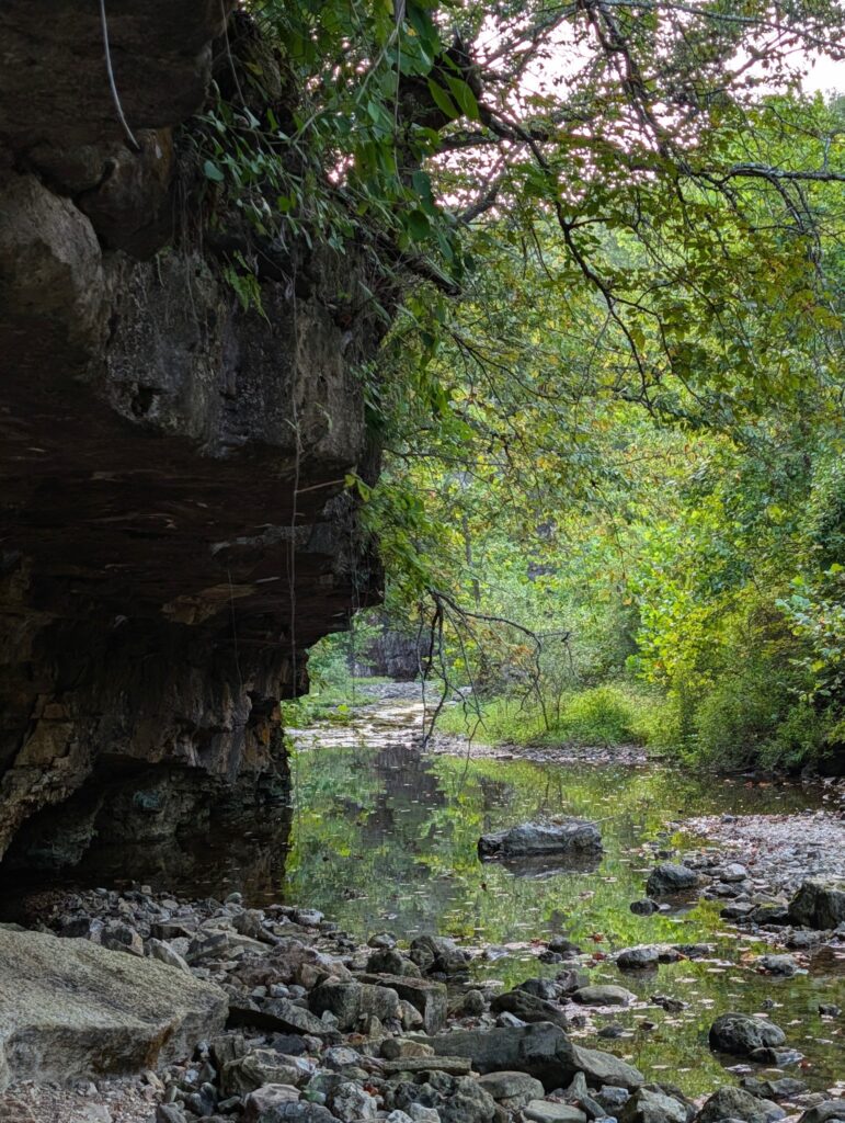
Despite having a pretty rainy year and a pop-up storm that morning, Clifty Creek was not creekin’. I wish we could have seen more of a flowing creek, but we did get to stop and watch the schools of small fish and crawdads swimming in the contained pools of water. Think of it as a Midwest tide pool.
Time of Day
It’s still summer here in Missouri, but the days of 9 p.m. sunsets are behind us. In an effort to dodge the heat, we had too late a start to properly experience this hike and ended up doing an out-and-back to the natural bridge instead of the full loop.
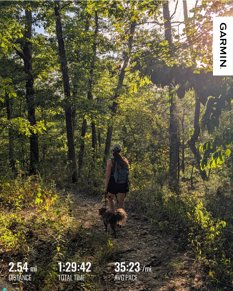
Mo, did you check the estimated duration for the hike on AllTrails before leaving? Yes. The trail was marked for 2.5 miles with a time estimate of 1 – 2 hours. Despite the alternate route, we still covered 2.5 miles and wrapped up in 1.5 hours after power walking the last half back to the car. Had we had the daylight to take the same leisurely pace as the first half, we could have easily gone 2 hours.
Something I forgot to factor in is that the listed sunset time is not the same as sunset while in the woods. Not every tree canopy should be considered the same for a variety of reasons, like season, type of tree, and overall tree density. For this trail in August, I would have subtracted at least 20 minutes from sunset to comfortably get back to the car without the use of the headlamp that I packed in my day bag.
Day Bag
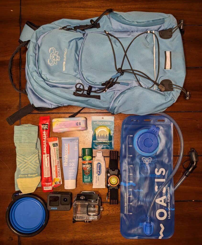
If you’re new to this term, a “day bag” is exactly what it sounds like: A bag you take for a day activity. Not an overnight or multi-day pack, but this is something you might also pack for those types of trips that way you’re not always hauling around your biggest bag when all you need is a few essentials. What you bring in your day bag might vary slightly from activity to activity, but I consistently bring some variation of what you see below. This post contains affiliate links, and I may earn a commission at no extra cost to you.
- Hydration Backpack- Water Buffalo Sherpa 22 L Hydration Backpack
- Hydration Bladder. A good general rule of thumb is to drink 0.5 liter of water per hour of moderate hiking. Note: this is just a suggestion and can change based on a variety of factors.
- First-aid kit
- Insect Repellent- Repel 100
- Sunscreen
- Itch relief cream
- Snacks: protein, something salty, and fruit
- Extra pair of dry socks
- Headlamp. Sure glad I had that on this hike!
- Camera – GoPro Hero 12
- Collapsible dog bowl. Please, please don’t let your pups drink from outdoor bodies of water. You wouldn’t, and they shouldn’t.
MoGo Snapshot
🚗 Drive from Jefferson City: 1 hr 15 min
🥾 Walking required: Moderate, rocky 2.5 mile loop
💧 Water access: Shallow
🐾 Dog-friendly: Yes
🚻 Restrooms: No
🎟️ Cost: Free
⭐ Mo’s Rating: 6/10
-
Prairie Garden Trust
Prairie Garden Trust is a nonprofit foundation, and the land has a rich history steeped…
-
Planning Next Year’s Adventures: What I’m Thinking About Before I Book
The calendar year is coming to an end, and for most state parks, the camping…
-

Leave a Reply